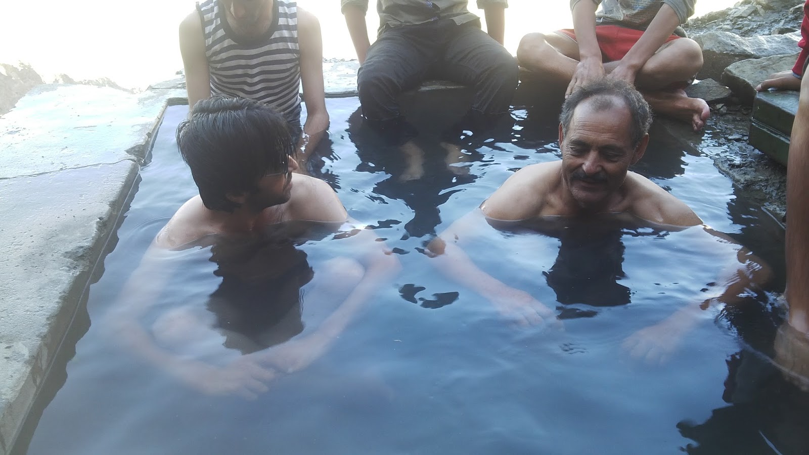
This Garam chashma (Hot Spring)about 5 to 6 miles from Darkot valley of Yasin Side. Stream is very hot. You can fill the tub with the help of the pipes and let it cool for half an hour then you can sit and relax and watch the glaciers infront of you. The best bath tub I ever sat in.