Showing posts with label Darkut Yasin Valley. Show all posts
Darkut Pass, Yasin Valley Gilgit-Baltistan
Elevation 4,703 m (15,430 ft)
Location Gilgit-Baltistan / Khyber Paktunkhwa, Pakistan
Range Hindukush Mountains
Coordinates 36°44′42″N 73°25′59″ECoordinates: 36°44′42″N 73°25′59″E
Darkot pass (el. 15,430 ft., open May through October) is a high mountain pass that connects Baroghil Valley in Chitral and Rawat valley of Ghizer District in Gilgit, Pakistan. It is also known as "Darkut".
The pass is about 10 miles to the east of Koyo Zom (Zum) (6872m), the highest peak in Ghizer district. The border between Chitral and Northern Areas runs through the pass over Darkot Glacier. Eight miles to the south is Darkot village on the River Darkot, a small tributary of Ghizar River). To the northeast of Darkot pass is Chitral. Ten miles to the northwest of the pass is Chilmarabad, a village one mile south of the Boroghil pass.
Location Gilgit-Baltistan / Khyber Paktunkhwa, Pakistan
Range Hindukush Mountains
Coordinates 36°44′42″N 73°25′59″ECoordinates: 36°44′42″N 73°25′59″E
Darkot pass (el. 15,430 ft., open May through October) is a high mountain pass that connects Baroghil Valley in Chitral and Rawat valley of Ghizer District in Gilgit, Pakistan. It is also known as "Darkut".
The pass is about 10 miles to the east of Koyo Zom (Zum) (6872m), the highest peak in Ghizer district. The border between Chitral and Northern Areas runs through the pass over Darkot Glacier. Eight miles to the south is Darkot village on the River Darkot, a small tributary of Ghizar River). To the northeast of Darkot pass is Chitral. Ten miles to the northwest of the pass is Chilmarabad, a village one mile south of the Boroghil pass.
![]() |
| Crossing Darkut Pass via Yaks |
| on the way to Darkut Pass |
Subscribe to:
Posts (Atom)
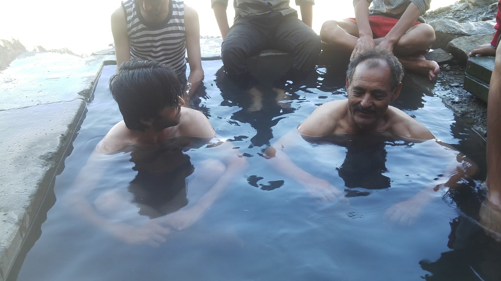
This Garam chashma (Hot Spring) Darkut Yasin Valley, Pakistan
This Garam chashma (Hot Spring)about 5 to 6 miles from Darkot valley of Yasin Side. Stream is very hot. You can fill the tub with the help ...
-
This Garam chashma (Hot Spring)about 5 to 6 miles from Darkot valley of Yasin Side. Stream is very hot. You can fill the tub with the help ...
-
Elevation 5,005 m (16,421 ft) Location Pakistan Range Hindukush Mountains Coordinates 36°37′48″N 73°4′10″E Thoi pass (el. 16,420 f...
-
Elevation 4,703 m (15,430 ft) Location Gilgit-Baltistan / Khyber Paktunkhwa, Pakistan Range Hindukush Mountains Coordinates 36°44′42...